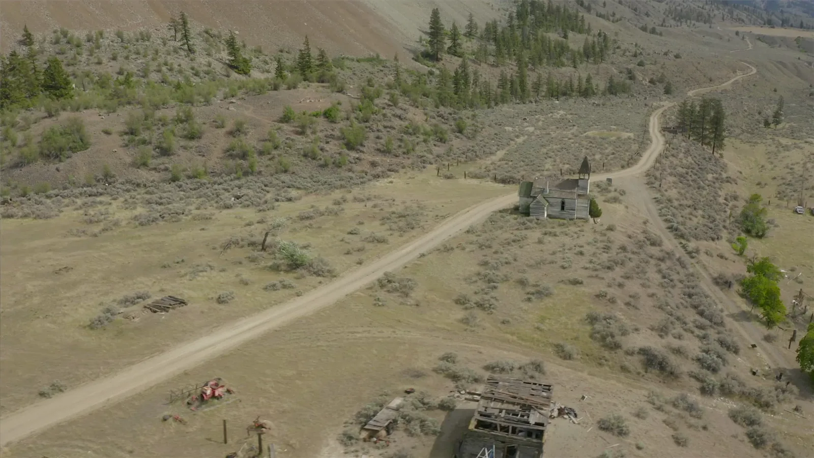
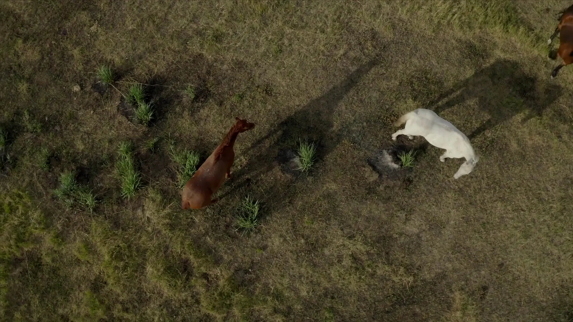
Historical record

Our History

A public timeline of land, place, testimony, and continuity connected to Pukaist.

History

Records, place, and continuity along the Thompson River

This page gathers a public-facing timeline from published records, testimony, and community-linked sources connected to Pukaist.

It is not the whole story. It is one careful public path into longer community history, land use, teaching, and memory.

Public timeline

14

What this page does

  • Brings major public historical points into one readable timeline
  • Keeps source review behind the scenes for public-facing claims
  • Connects history to land, place names, and community continuity

A note on public history

Historical records are one part of the story. They sit alongside oral history, language, place knowledge, and community-held materials that do not all belong on a public page.

Long-standing community context

Land, language, and story

Published sources describe Nlaka'pamux knowledge systems involving land use, language, and teaching practices.

Published historical records

Regional traditions and geography

Published source collections record traditions and regional place context along the Thompson and Fraser river systems.

Long-term land-use system

River lands and Highland Valley worked together

A 2008 historical report says Pukaist people relied on both riverine lands and high meadows for hay, grazing, trout fishing, and other resources, using both areas together throughout the year.

1889

Highland Valley occupation recorded

An 1889 O'Reilly record reproduced in a later report says the Highland Valley reserves were valuable for swamp hay and had been occupied for many years.

Early 1900s

Pokaist remains a named place

Early 1900s records associated with the wider Lytton mission area include references to Pokaist/Pokhaist, confirming the place remained present and named in that period.

Late nineteenth century

Pekeyst/Pokaist leadership recorded

A 2011 dissertation connected to Pukaist family and community history states that Timothy Shemahallsee was Chief at Pekeyst (Pokaist/Pakyst) on the east bank of the Thompson River in the late nineteenth century.

1913

Pemymoos agricultural productivity recorded

Cook's Ferry testimony recorded in 1913 says Pemymoos had about 70 acres under cultivation collectively, with hay and clover, potatoes, turnips, beans, peas, oats, wheat, and fruit among the products named.

1913

Water management and road access affected production

Cook's Ferry testimony says mountain lakes fed reserve water, a dam would help stabilize supply, and lack of road access caused produce losses because goods had to be packed out by horseback.

1913

Water loss and railway impacts recorded

Cook's Ferry testimony describes how water supply and railway development affected farming on the reserves, including crop losses and changes to cultivated areas.

1913

Seasonal Highland Valley use described

Cook's Ferry testimony recorded in 1913 describes Highland Valley reserves 12-15 as hay and meadow lands used seasonally for cutting hay and wintering cattle.

1913

Open range was described as necessary

Cook's Ferry testimony describes how access to open range beyond the reserves was important for keeping horses and cattle.

2011

Intergenerational teaching documented

A UBC dissertation by a Pukaist descendant documents community teaching principles, language, and place-based knowledge.

September 20, 2022

People of Pukaist Society incorporated

BC registry records show the incorporation of the People of Pukaist Society.

Today

Public resources and continuity

The community continues to build public-facing language, place, history, and story resources on top of longer lines of continuity.