For community members
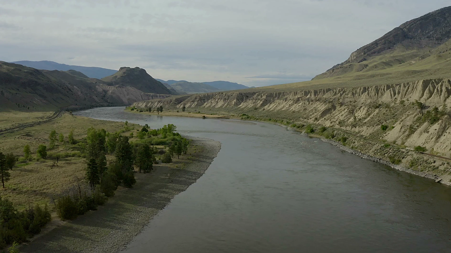
Places across our territory
We are preparing our place names and territory map with our community and sharing them with members. If you're a community member, sign in or request membership to explore them.
We are preparing our place names and territory map with our community and sharing them with members. If you're a community member, sign in or request membership to explore them.